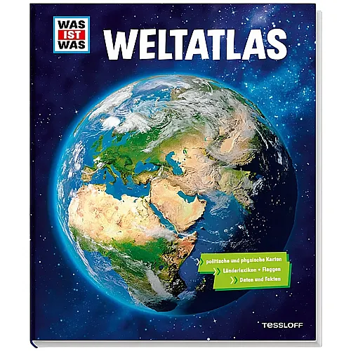
Tessloff Was ist Was World Atlas
 Teilen
46.90
Item No. AN317134

-
8 years -
26,5 x 31,5 cm -
232 Pages
-
Description
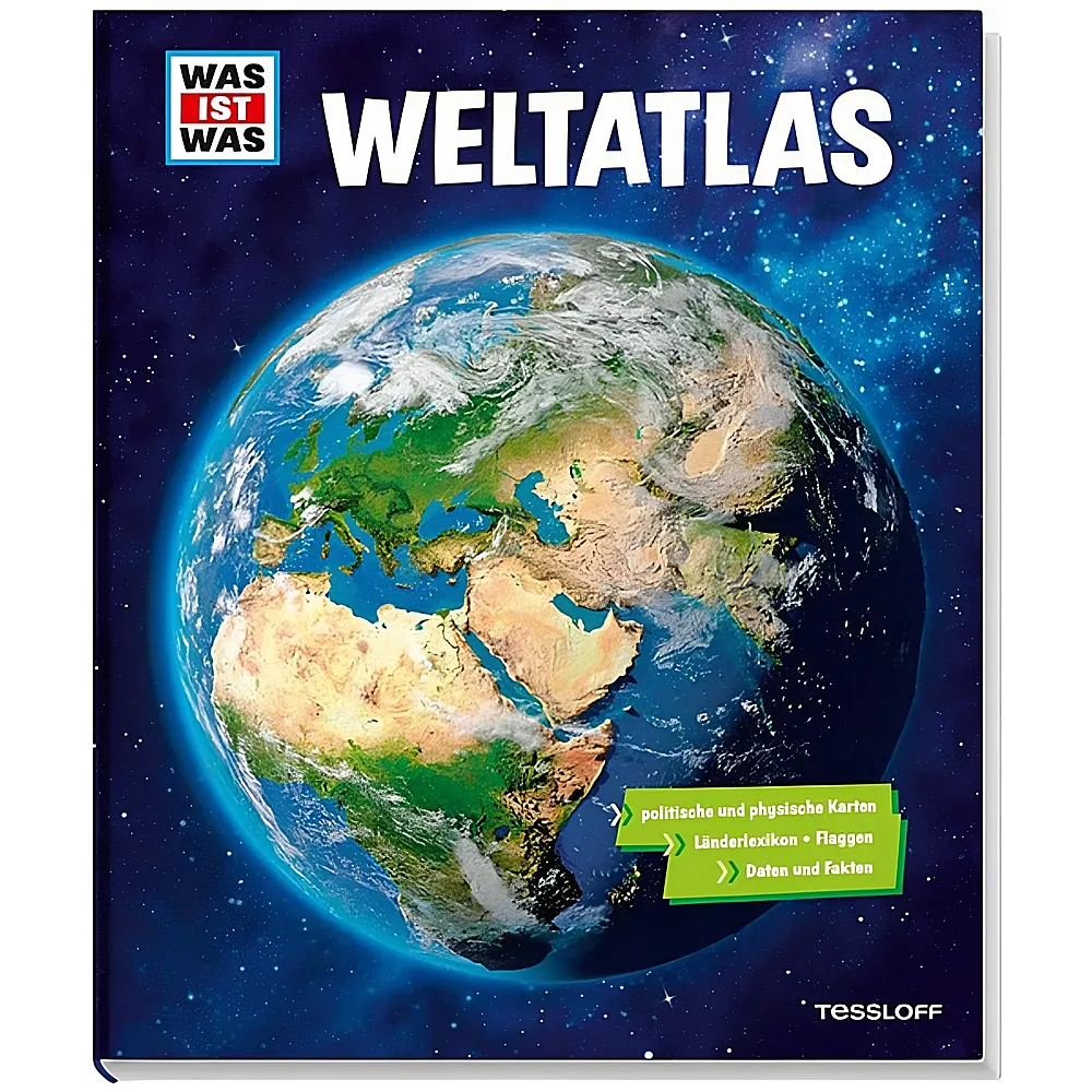
The "Was ist Was" World Atlas from Tessloff Verlag imparts geographical knowledge across 232 pages in a 26.5 x 31.5 cm format. This reference work contains over 80 physical and political maps that depict continents and regions in detail. A clear page layout with maps on the left and informational texts on the right makes understanding easy. Additionally, the atlas offers a comprehensive country lexicon with flags, data, and facts, as well as sections on cartography, time zones, and global climate zones. This makes the work ideal for orientation and targeted lookups of cities, mountains, and bodies of water.