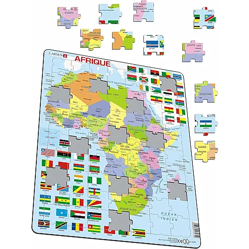
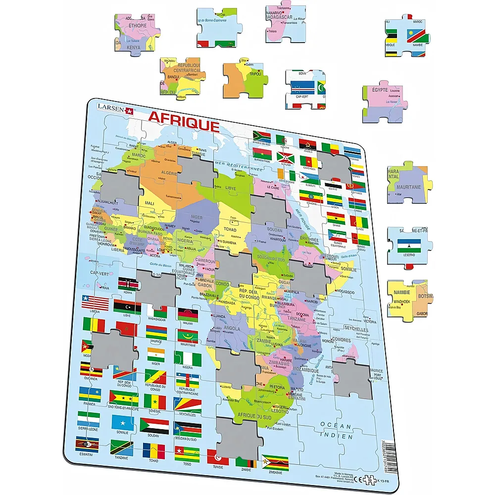
Larsen's tray puzzle shows a detailed political map of the African continent. Across 70 puzzle pieces, the individual states are color-coded and labeled with capital cities and national borders. Arranged around the map are the national flags of the African countries along with their respective country names. Measuring 28.5 x 36.5 cm, this educational puzzle provides a clear area for matching and discovering. The individually die-cut puzzle pieces fit precisely into the sturdy frame and support a playful introduction to the geography of Africa.
- Puzzle piece size: approx. 6.4 x 3.7 cm (calculated based on the area and number of pieces)
- Instructions




 Share
Share